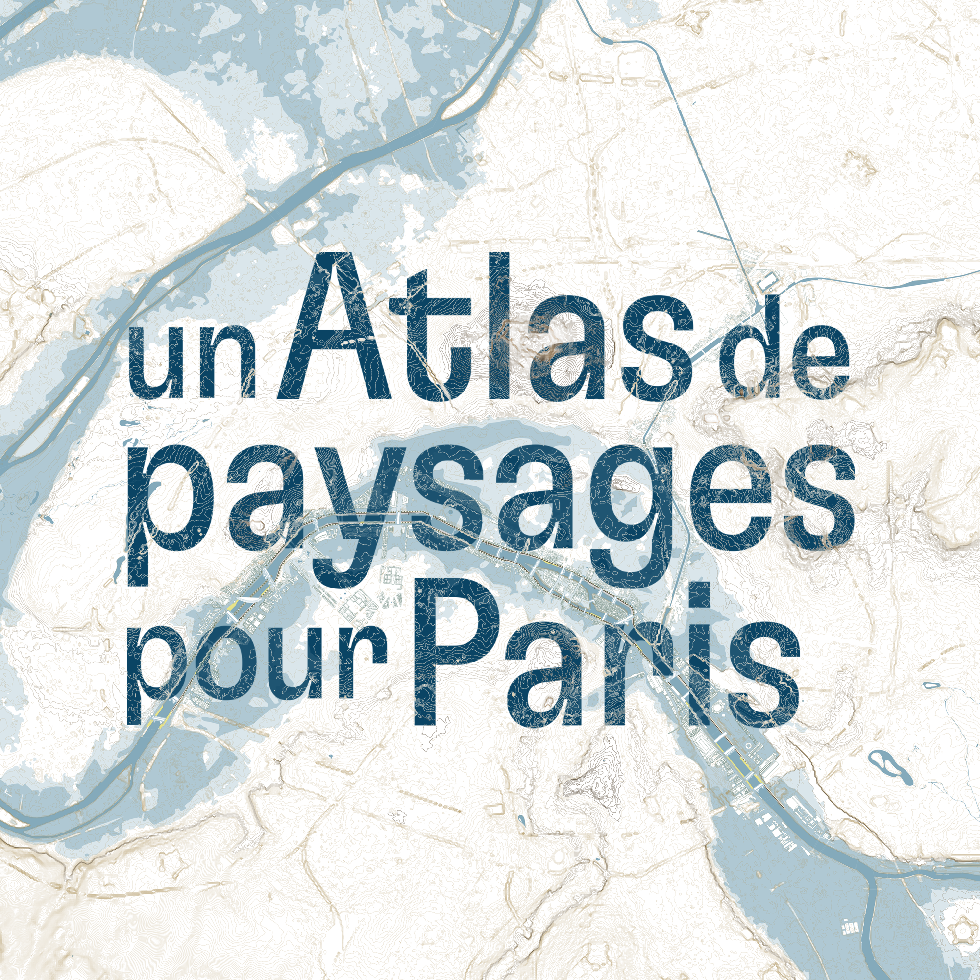
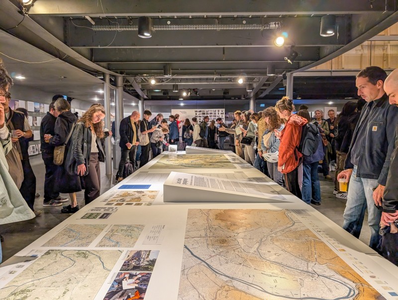
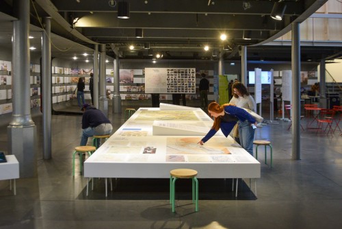
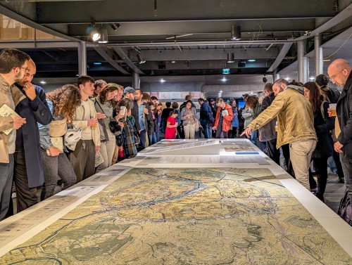
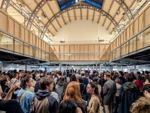
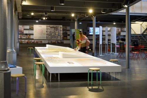
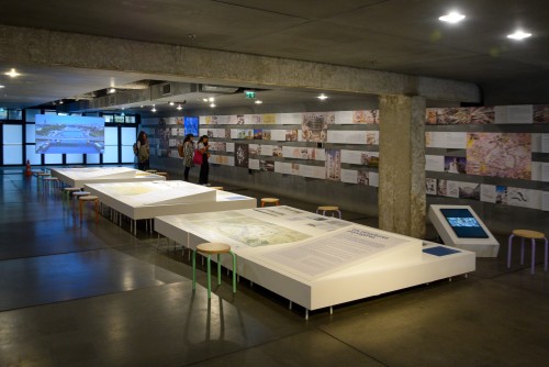
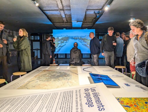
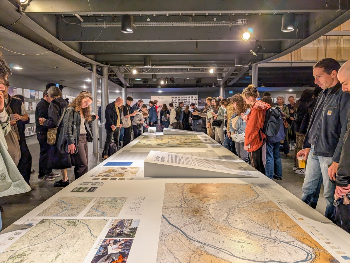
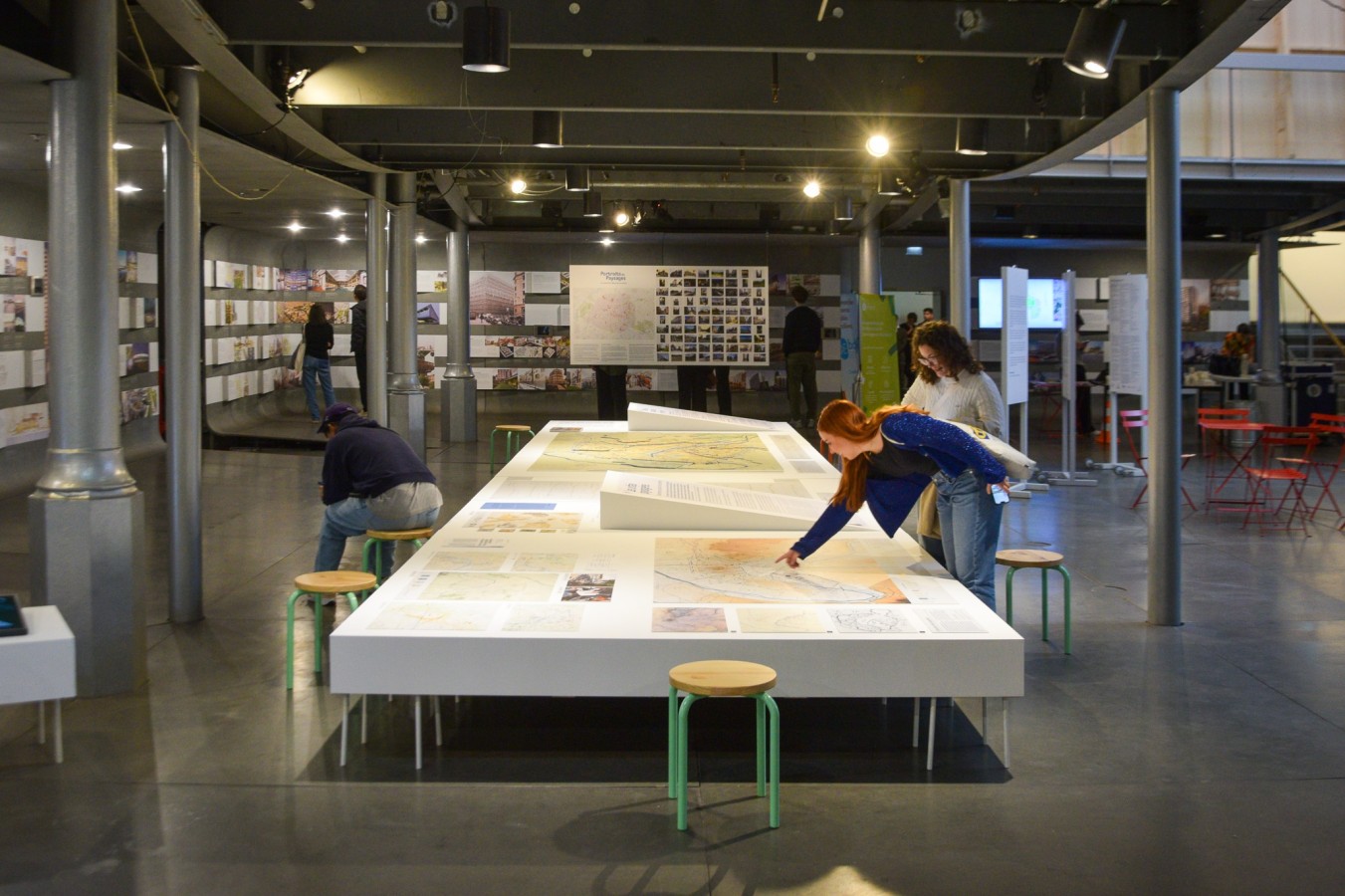
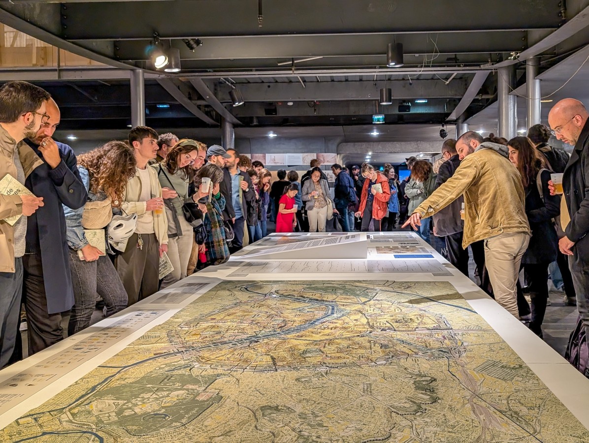
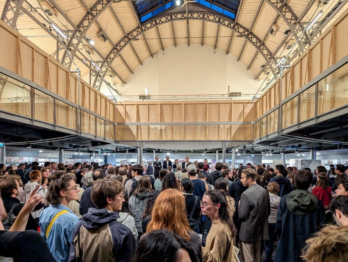
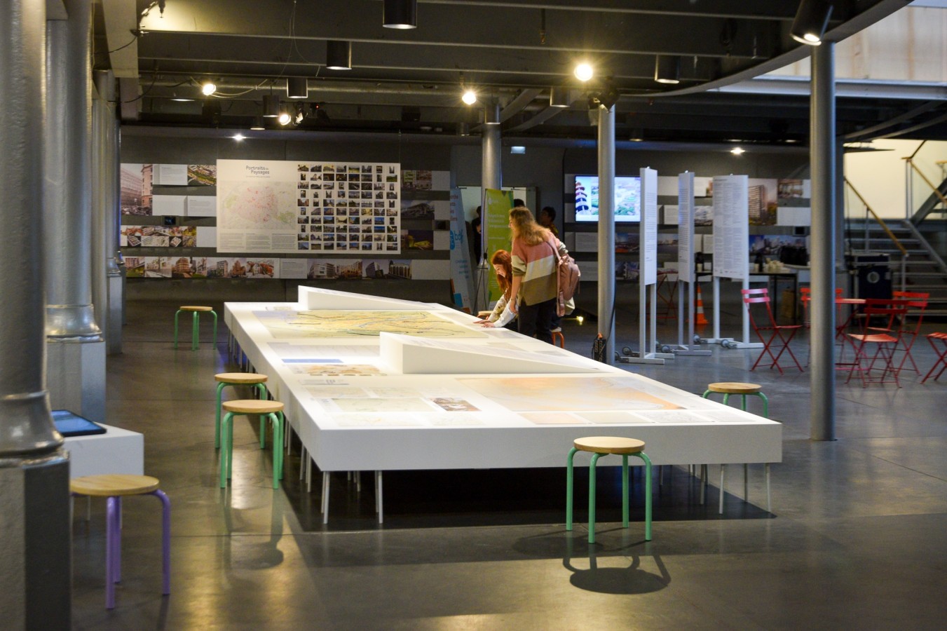
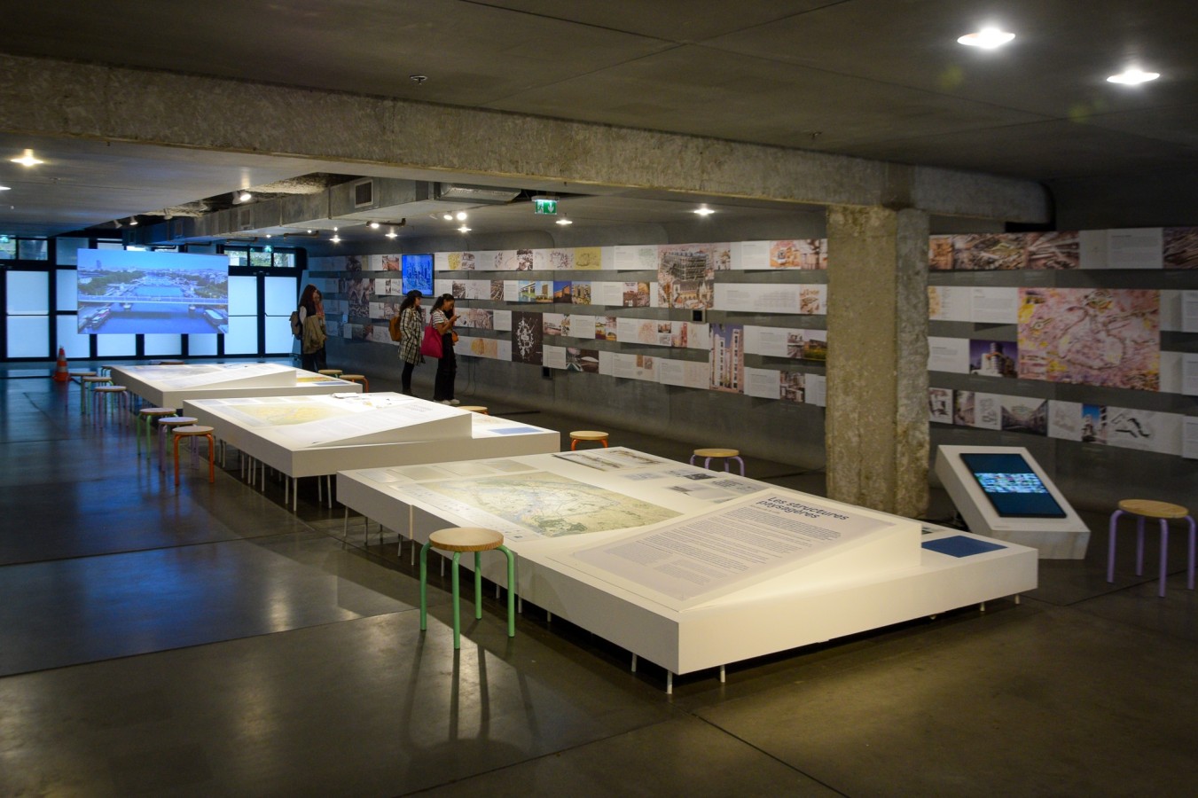
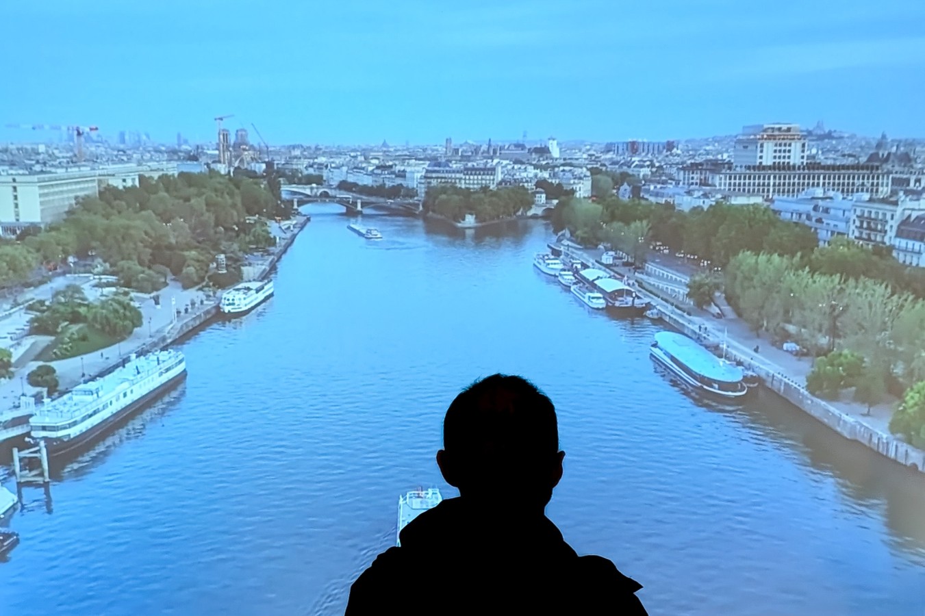
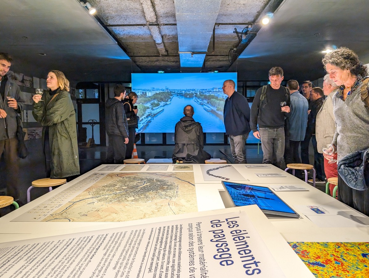
The exhibition, displayed on the first floor of the Pavillon de l'Arsenal's main hall, presents the results of the research carried out by the EPFL team, the outcome of the public consultation process and the entire process of producing the Atlas project.
At just over twenty-five meters long, the exhibition is organized around five themes: introduction, units, structures, entities and landscape elements. Each chapter is complemented by several contributions from experts invited as part of the Atlas project, all from different disciplinary fields in order to explore the themes addressed in greater depth.
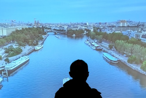
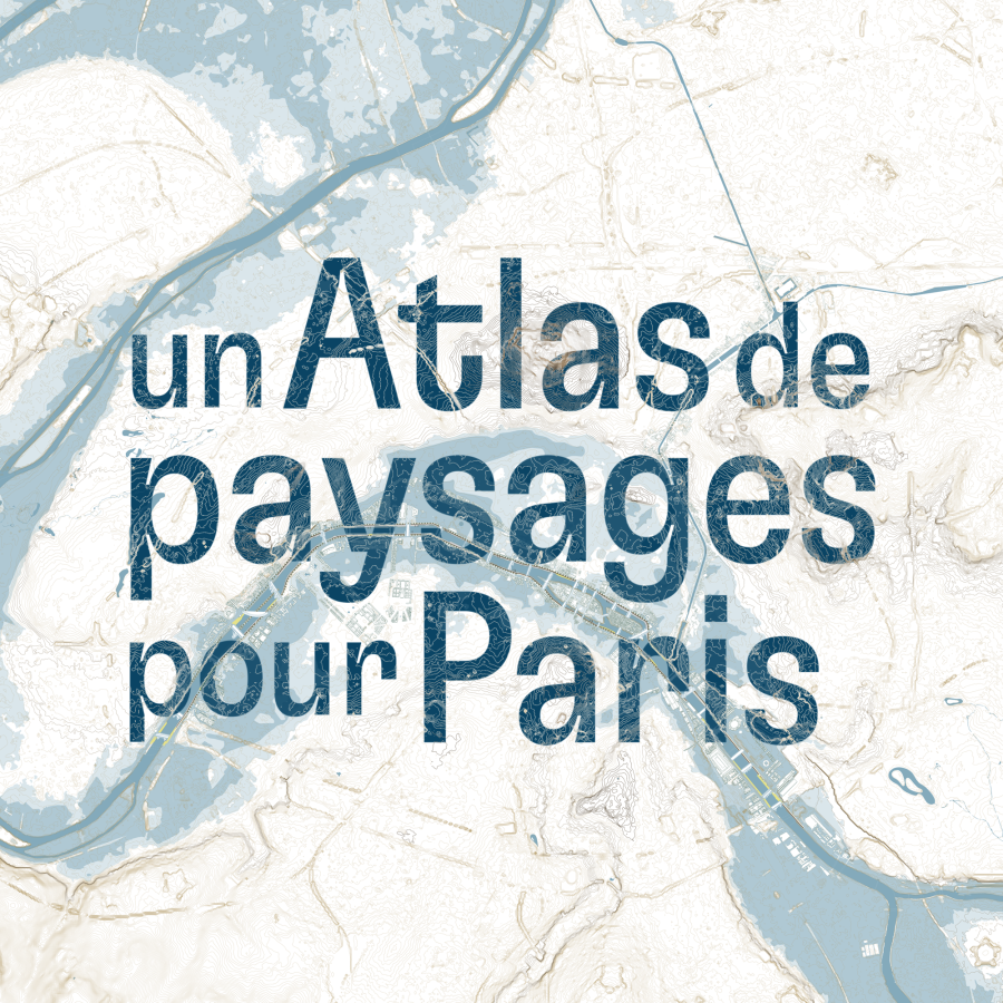
Through large-format maps, film excerpts, testimonials, photographs and models, the exhibition Un Atlas de paysages pour Paris shares with the general public the wealth of landscape experience gained throughout the project. It presents the collective work carried out since 2021 and explores the particularities of Parisian landscapes through historical, sociological and morphological analyses, synthesized in thematic maps.
What is a landscape atlas?
A shared knowledge tool
A landscape atlas is a tool for understanding landscapes within a given territory. Created in France in 1994, it is based on the principles of the European Landscape Convention, and has a legal basis in the French Environment Code. Its aim is to identify, characterize and qualify landscapes - in this case, Parisian landscapes. Its aim is to take better account of the landscape by considering the dynamics that modify it, the role of socio-economic players, environmental issues and the particular values attributed to them by the populations concerned. At the beginning of 2022, the French government and the City of Paris commissioned the first Parisian Landscape Atlas. Paola Viganò and the HRC (Habitat Research Center) research laboratory she heads at EPFL (Ecole Polytechnique Fédérale de Lausanne) were awarded the contract for their interdisciplinary approach.
Why an atlas of urban landscapes?
The last piece of the Parisian puzzle
The Atlas de paysages de Paris will be the first landscape atlas to cover an entirely urban area, a single major city. It's a unique opportunity to read a contemporary metropolis through its “landscapes”, inviting us to reflect on their material constitution, the perceptions and imaginaries that nourish them, and the issues and orientations that accompany them in their ordinary or exceptional transformations. The Atlas de Paysages de Paris is the latest to be launched at regional level, and draws on atlas units from neighbouring territories to propose landscape units that go beyond conventional administrative and physical boundaries.


